
A town centre of listed buildings, with more recent streets around it
The Square and the High Street hold Georgian and older listed buildings, which rules out most structural change without listed building consent and means any nearby work is judged partly on how it affects that setting. Move a little further out, towards the station, and you find Victorian and Edwardian houses, then later 20th century estates on the edges of the town. Villages such as Steep, Sheet and Buriton add period cottages and larger detached houses into the mix again.
Because the housing stock varies so much over a short distance, a Victorian terrace near the station calls for different proportions and materials than a 1970s house on the edge of town, even though both might need the same extra space.
Why permitted development works differently here
Planning policy for Petersfield is set by the South Downs National Park Authority, with East Hampshire District Council handling many applications on its behalf. The national rules letting homeowners build certain extensions without applying for permission are tighter inside National Parks, so work that might be permitted development elsewhere in Hampshire usually needs an application here.
That isn't a reason to simplify the design; if anything it means the drawings and supporting information need to explain clearly how the proposal responds to its setting, since that's what the planning authority will be weighing up.
Extending a Victorian house near the station
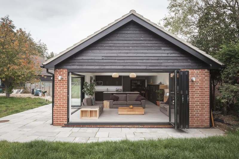
Rear extensions to the Victorian and Edwardian houses near Petersfield station are a regular project, using materials and proportions that sit comfortably with the existing roofline and brickwork. On the later estates at the edge of town, a single storey rear extension can add valuable family space, though National Park policy still applies to the application.
A side addition in the National Park normally needs an application, even where a similar arrangement elsewhere could be permitted development. We draw the extension against the complete house and its boundaries, showing the scale from outside as well as the rooms gained inside. That helps you compare an ambitious footprint with a smaller addition before choosing what to submit.
Making the application explain your Petersfield design
We record your house through a measured site survey, then use plans and elevations to show how its existing shape changes. Where a large opening links the original kitchen to new living space, structural drawings address the support as part of the technical design rather than as an unmarked gap in the wall.
Once planning permission is granted, we also produce the building regulations drawings your builder and building control will need to carry the project through to completion. You can contact Lee and Les to talk about an extension in town or the nearby villages and arrange a free on-site consultation with a no-obligation quotation.
Frequently asked questions
Why might a Petersfield side addition need an application when another town does not?
National Park designation limits the permitted development route for side extensions. We check the proposal against those rules before deciding what drawings and supporting information to submit; the same footprint cannot automatically use the same route everywhere.
How do you explain a modern extension in a National Park setting?
We show its relationship to the original building through elevations, material choices and a clear account of the design. A contemporary appearance still needs to respond to the scale and character of its surroundings, rather than being drawn without that context.
Can we compare a modest rear room with a larger side scheme?
Yes. Looking at both on the surveyed house lets you compare usable rooms, garden space and external proportions. We discuss their different planning implications as part of that choice before you settle on an application.